seavoyage
grunt n00b
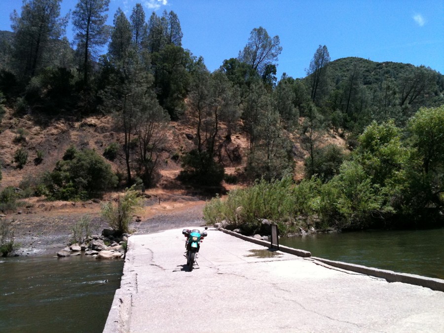
Informal ride to Lake Berryesa/Knoxville OHV area. ADVrider ride report We schedule this ride on the second Sunday every month...same meet up place, same meet up time...pending weather.
Fear not! This is not hard-core dirt bike riding and knobbies are not required to ride this jeep trail. So it is okay if you do not have a dual-sport or ADV bike. All are welcome but you should feel comfortable riding your bike in the dirt, which is the same technique as wet pavement.
For the truly adventurous looking for a challenge: We've seen this terrain handled comfortably on H-D Sportsters, a Ural with side car, vintage Triumph Bonnevilles, and sports bikes (See Sjaak Lucassen on an R1: )
NOTE: This is an INFORMAL RIDE. There is no assigned lead or sweep. For those that would like to join the ride but skip the dirt portion of the route, you have the option of continuing on to the gas stop in Lower Lake on CA-29.
Gas stops are sparse on this route so please have a full tank of gas when you arrive at Starbucks.
So if you're feeling adventurous to join this ride, meet at 8:45am.
PLEASE READ GUIDELINES BELOW. THEY WILL APPLY.
Meetup:
Starbucks
4470 Central Way Ste 100
Fairfield, CA 94534
KSU at 9:00am Reminder: Daylight savings time... spring forward.
Route: Practice your navigation skills and route planning. Set up your GPS waypoints and roadbook reader, and navigate your way through the described route. Link to Rallye/Raid navigation instructions
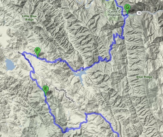
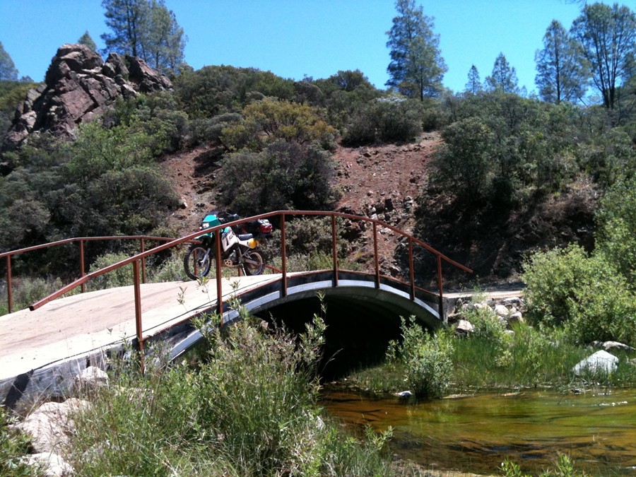
Head North on Suisun Valley Rd to Rt-121 Wooden Valley Rd to Rt-128 Cappell Valley Rd (38.493100 -122.246933) to Berryessa Knoxville Rd. (West side of Lake Berryessa) for the multiple stream crossings. Knoxville OHV Trail Map
Morgan Valley Rd. to the South Entrance of the Knoxville OHV area (N38.79.013 W122.21.182 or 38.829010 -122.347183 ). Turn left into Knoxville Devil's Head Rd. then follow signs to "Lower Camp" (38.810018 -122.374649). Head North out of "Lower Camp" on Jeep Trail to "Upper Camp"/Staging Area and back onto Morgan Valley Rd.
Instead of heading to Lower Lake: Find the mysterious Rd-40!
Morgan Valley Rd. East on (38.858157 -122.407608) Reiff Rd./County Rd 140A/Rayhouse Rd./Rd 40 all the way to CA-16 at Cache Creek Regional Park then back down to Rt-128, Rt-121 to I-80.
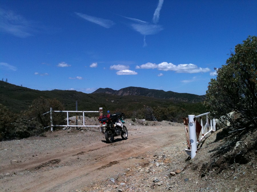
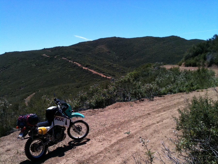
A few maps and pics of the route.
GPS, SPOT, Camelback, and Camera highly recommended. Brown bag lunch if you prefer.
Weather: weather.com forecast Rains 48 hrs. prior to KSU cancels events due to flooding and muddy trails.
**GUIDELINES TO RIDE KNOXVILLE OHV RECREATION AREA**
•All vehicles must be street licensed or have a current off-highway vehicle registration (green or red sticker)
•All vehicles must be equipped with a properly installed muffler and a U.S. Forest Service approved spark arrester.
•All-Terrain Vehicle (ATV) operators must wear a D.O.T. approved safety helmet.
•No operator of an all-terrain vehicle may carry a passenger when operating on public lands. However, the operator of an all-terrain vehicle, that is designed for operation off of the highway by an operator with no more than one passenger, may carry a passenger when operating on public lands. (CVC 38506).
•Please respect our neighbors and stay out of private land.
•Yield the right of way to pedestrians, horses or bicycles.
•All roads and trails in the area have two-way traffic. Be alert and always stay to the right-hand side.
•Please stay on designated trails. Avoid cutting switchbacks or driving through stream bottoms and wet meadows. Devilhead Road is a county road, therefore only street licensed vehicles are permitted.
•This area is open to hunting year round. Be extremely cautious when riding during peak hunting seasons.
Last edited:

