You betcha!arty
... just gotta figure out when ...
In addition to the great flower show, there are some fun trails in the area. Ballinger Canyon not far as well.
I'd like to go back this year
You betcha!
... just gotta figure out when ...
Those GC ride reports are just awesome John. I'd love to plan a Grand Canyon ride for later this year in August or in 2018.
artyarty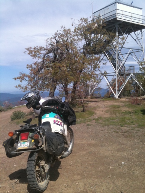 arty
arty


This is meant to be a general purpose adventure riding thread, a repository of random photos of rides not worthy of elaborate reports, a place to mention great rides that you didn't take any good pictures of, a place to get advice or give advice about camping, road conditions, gear, etc, and (if you must), a place to tell us why your bike is great and all others are inferior.
Let's give it a go:
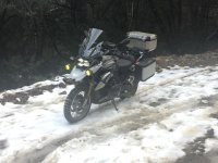
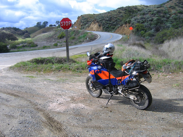
I bundled up yesterday to give Tassajara road a try- it's becoming something of a winter tradition. As expected, I didn't get very far:
Here's last year up at the top:
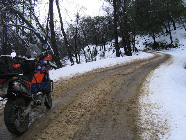
Hwy 25 was fun on the way back though:
zak
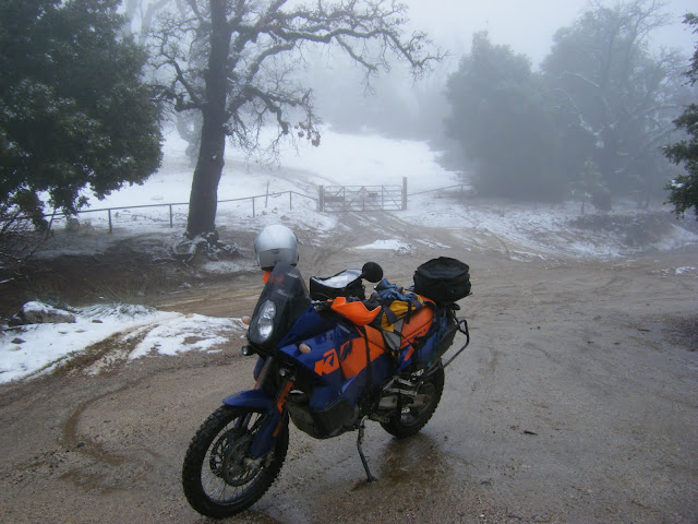
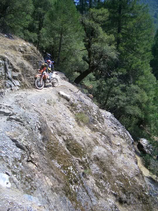
Me on Tassajara in January.


 arty
arty

John, I saw some squiggles on a map that I might need to explore... Ever ridden Sandy Creek off peach tree?
... no, and I just had fun looking for it on
Google Maps ... found a Big Sandy,
and also found Smith Mountain Lookout Road ...
Yes! Big Sandy. Derp.
This DR has me wanting to check out all of the places.

All this is under snow yet.
... up around Downieville,
so I'm told ... Catfish posted
this over on ADVrider ...
Oh, yeah...Downieville is the perfect place for a DR650
From 2009...
arty
Oh, yeah...Downieville is the perfect place for a DR650
From 2009...
SideHillChick
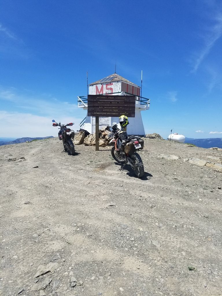
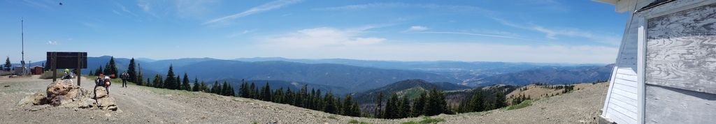
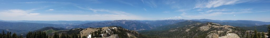
Stopped at Anthony Peak lookout on the way over, as he had never been there. We will be returning a few times this summer to camp out, and explore the area to the North. Just a beautiful spot.