ScottRNelson
Mr. Dual Sport Rider
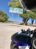
At the intersection of Eagleson (behind the bike), Robie Creek (to the left), and Clear Creek (to the right) Roads way back up in the hills. We have autumn leaves up here.

there are two sets of towers, I'd thought that the highest elevation for the road itself was between them but I could be wrongFor what we could see, the top was the tv tower back then, we came up 1/2 mile short.
I only made a brief look at the newish to me gate, didn't read all the open trail mountain bike signage, didn't explore the one road available, didn't think it would go anywhere before the next gate.
I did just check a new county map that shows a unmaintained road out to Cerro Alto. The road to the top and Cerro Alto, the same?


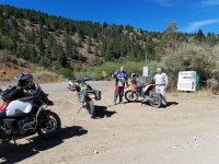
Hauser Bridge

Skaggs

it was REALLY slick, even on 1. spun up the rear when almost fully upright, in 3rd, part throttle.


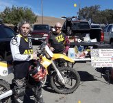
Monterey Vintage MC Show


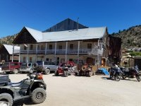
I'm trying to get to know the good roads in the area. I was wondering what was out Highway 45 and 78, because that looks like the only way across the Snake River. So yesterday I was having my car serviced at the local Ford dealer, mentioned to another guy waiting there that I liked exploring the dirt roads in the area and he told me that I should go to Silver City, which I had never heard of. So I got all four items checked off of my to do list before noon and headed out to go find it.ScottRNelson is rocking it the right way.
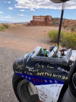
Silver City, Idaho is a long ways from anywhere and only accessible via dirt roads.

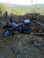
It started off as a leisurely Sunday morning ride. Chico to Oro-Quincy Highway, Bucks Lake, to Quincy then back down. Should have stayed the course on way back. Then I saw a little sign that said Four Trees Highway 70, 12 miles. Hey I'm on an Adventure bike let's do a quick adventure.
Not a wise decision. 5pm all food/water used up, 100+ degrees what could go wrong. 12 miles turned into 25 miles with no Highway 70 in sight. Good thing I have 8 gallon tank. Fire road turned into single track which turned into walking path which led to dead end with tree logs piled high with no way around.
I tried to backtrack, hmmm funny how things do not look the same in the dark with a touch of heat exhaustion. Tried using my GPS to head out, but the damn thing kept sending me back to the fallen log trail. 7:30 pm managed to get phone signal and swallowed my pride and got a hold of 911 briefly. I gave them my GPS coordinates with the expectations that I will wait to be rescued. For some strange reason those expectations were not shared by 911 dispatcher. 1:30am i decided to self rescue. Managed to compose myself enough to utilize my electronics which led me out of 30 miles later to Highway 70. Called up 911 @ 4am to let them know that i have managed to self rescue. Well god damn, there was not a search party started , speaking with Sgt in charge of rescue, he made the call that I was fine. Even though he admitted that they never attempted to call me back , because my phone showed out of service. It was a big cluster f*ck.
 A quarter mile of riding down a rocky stream bed got around that.