That is a great photo. I need to start getting more artistic.
Thanks! It helps to have such great material to work with, i.e. the amazing natural beauty of California (it’s not like I have a pretty bike
 )
)
Last edited:
That is a great photo. I need to start getting more artistic.
)


California has weirdly named roads too.Frozen Dog road?
California has weirdly named roads too.
I always liked Dog Bar Road between Auburn and Grass Valley.
California has weirdly named roads too.
I always liked Dog Bar Road between Auburn and Grass Valley.
Idaho has weirdly named roads too.
 )
)FTFY
Ok, been some time since I've been up there and it's right in you neck of the woods, over in Caldwell there's:
"Chicken Dinner Rd."
Back here in Cali there's "Dead Cat Alley" in Woodland
(oh, and thanks for posting your "excursions".

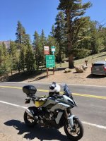
Hwy 108 on the way to Sonora Pass, earlier today.
Thanks! It helps to have such great material to work with, i.e. the amazing natural beauty of California (it’s not like I have a pretty bike
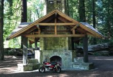
An old pictures, I love the Sierras.
Going Sunday. I will put post in group rides.


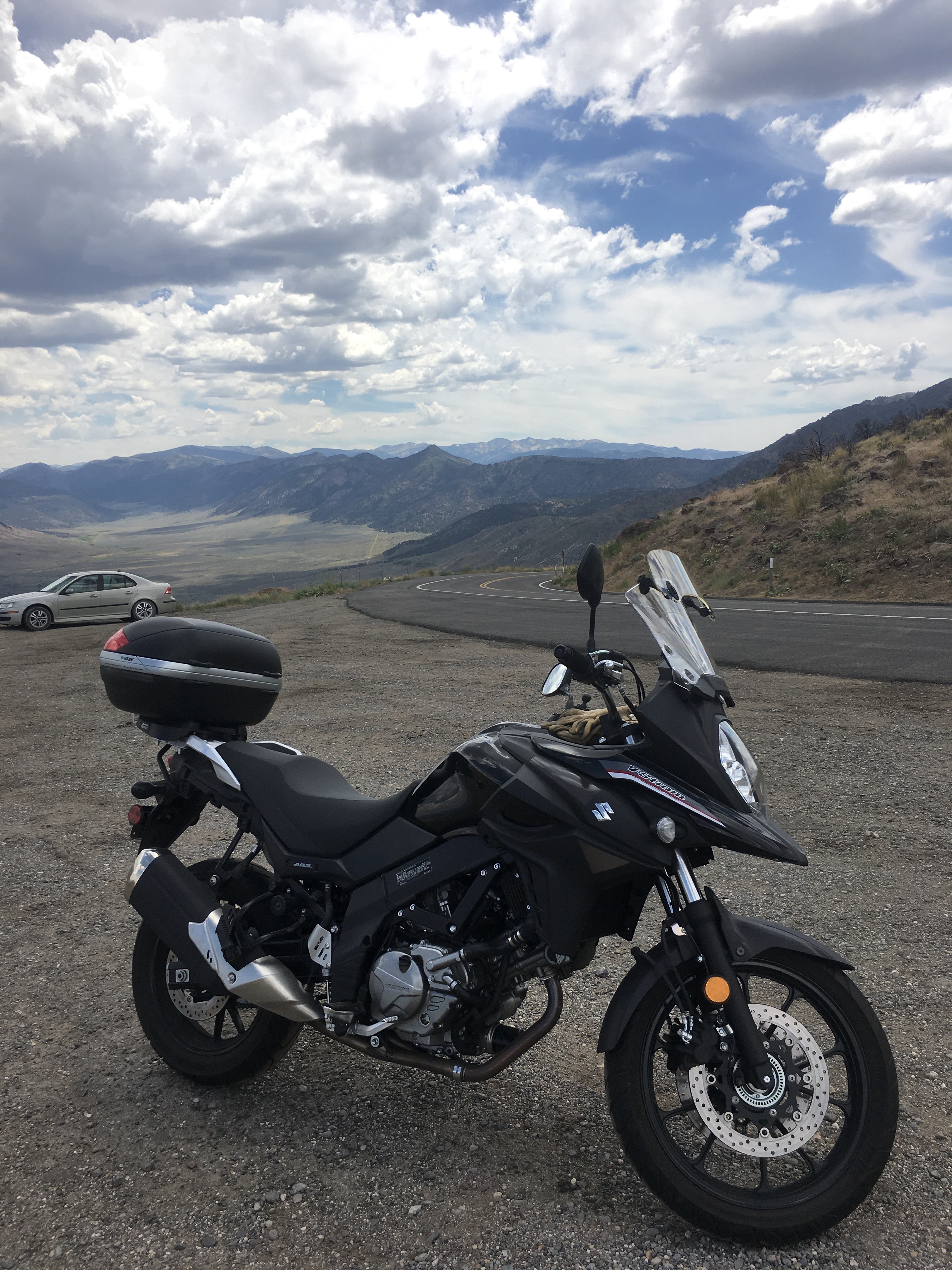
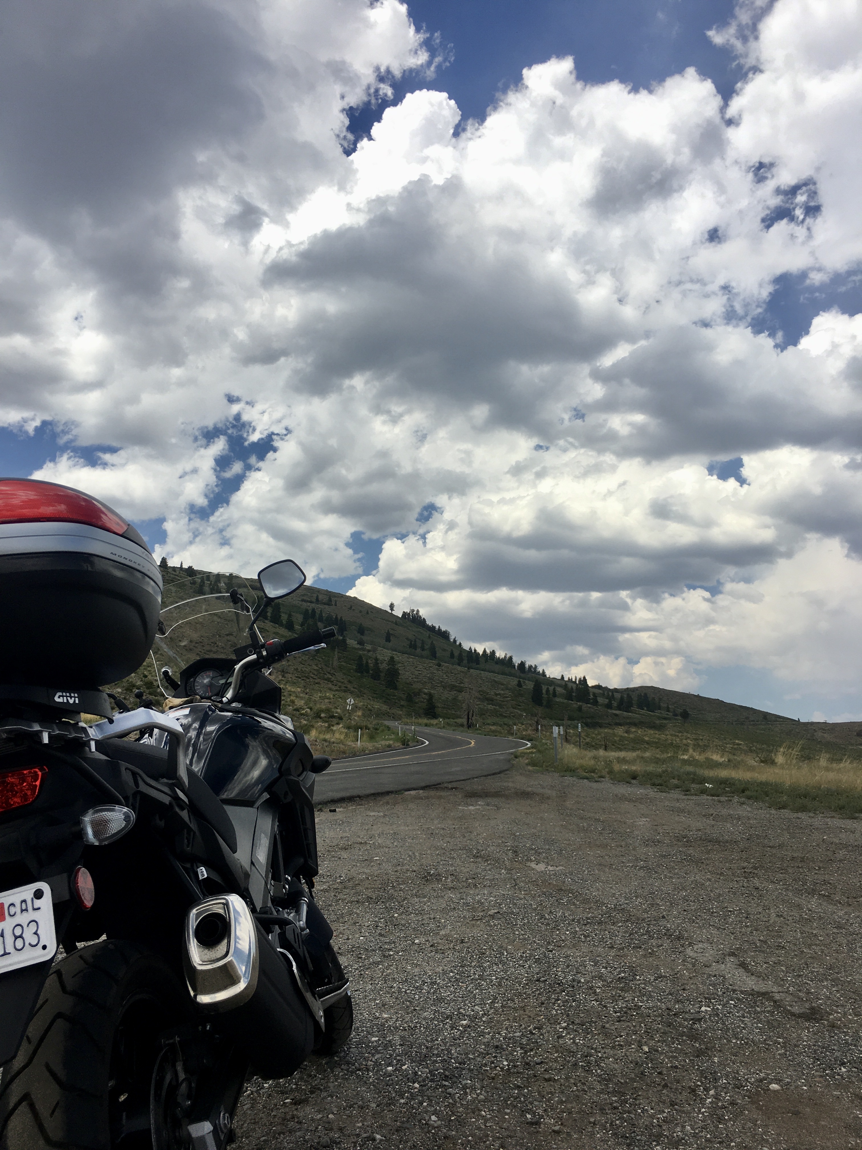
Agreed with others that the pic on Hwy 108 is great, but I like the Monitor Pass photo with high clouds even more. As for the V-Strom, I never thought the first gen was bad looking; the new ones look pretty nice.

California has weirdly named roads too.
I always liked Dog Bar Road between Auburn and Grass Valley.