Gary856
Are we having fun yet?
- Joined
- Apr 6, 2009
- Location
- San Jose, CA
- Moto(s)
- WR250F, MTS1200, 950SM, FZ1, DR650, R1250GS
- Name
- Gary
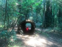
Felton-Empire


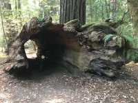
Near Davenport


Pigeon Point

Near Davenport
Pigeon Point
Last edited:
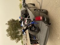


 Well it at least smelled like smoke.